-40%
Rostraver West Newton Belle Vernon Monessen PA 1867 Maps Landowners Names Shown
$ 6.33
- Description
- Size Guide
Description
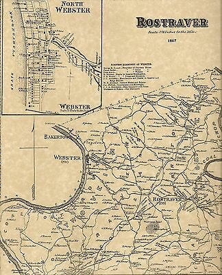
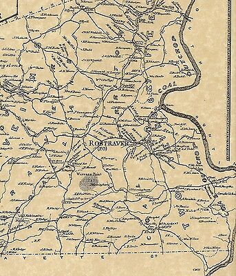
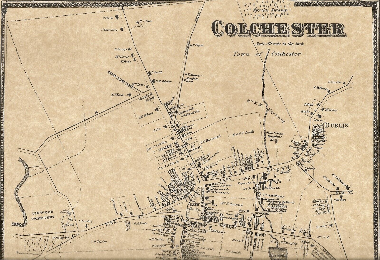
This is a 2 map set which shows where everyone lived in The Township of Rostraver, Westmoreland County, Pennsylvania in 1867. Reproduced on fine natural color parchment, these fine maps are 11"x 17" and suitable to fit a standard size frame or can be matted to fit a larger museum quality mat.The pictures provided only show portions of the actual maps. Please contact me with any questions.
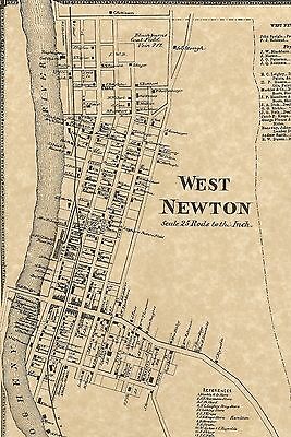
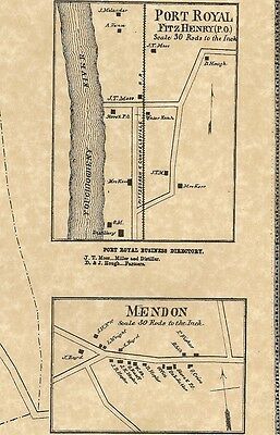
Contained on the maps are finely detailed locations of the homeowners of the Township of Rostraver. Please note that some of the present towns and villages contained different names or didn't exist at all in 1867. Some of the past and present towns and villages are North Webster, Belle Vernon, Fellsburg, West newton, Pricedale, North Belle, Monessen, Collinsburg, Port Royal, Sweeneys Crossroads, Bakertown and Wilko Hill. Due to the limited size of my scanner bed, only portions of the maps are shown. The first 2 pictures show the entire township of Rostraver with an inset map of Webster and North Webster. The third & fourth pictures show inset maps of the villages of West Newton, Port Royal and Mendon.
Some of the surnames which are clearly printed are Blackburn, Markle, Hough, Kerr, Thompson, Douglas, Neth, Plumer, Brush, Smith and so many more that it's impossible to list! Also indicated on the maps are schools, businesses, named streets, railroads and rivers/streams. Please note that some of the names are very small yet can be viewed with a magnifying glass.
BUYERS SPECIAL----PURCHASE ANY 3 LISTINGS OR MORE AND RECEIVE FREE SHIPPING!
